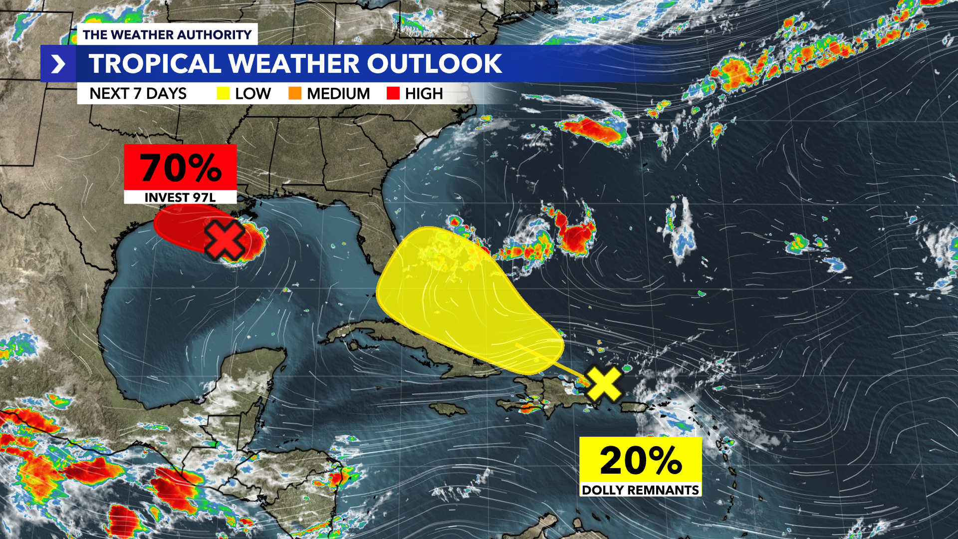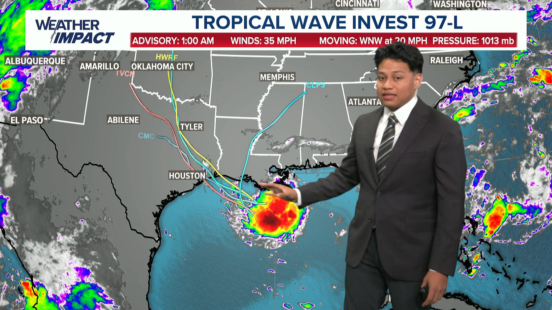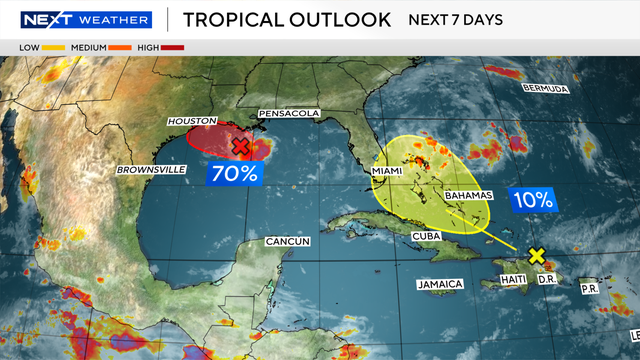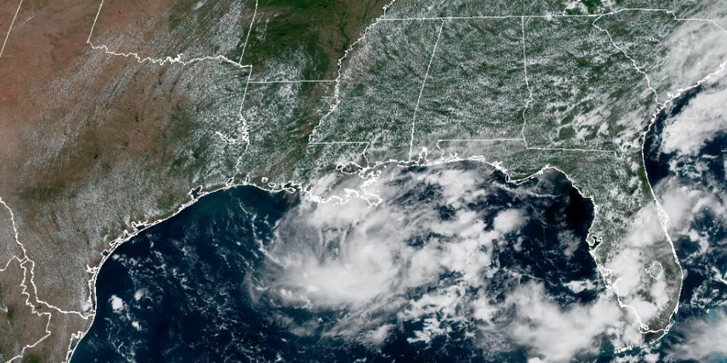
- An area of low pressure in the northern Gulf is being monitored by the NHC, moving west-northwest.
- The disturbance was designated Invest 97L by the NHC over the weekend.
- The NHC has designated the system as Potential Tropical Cyclone 5.
- Tropical storm warnings have been issued from Port Bolivar, Texas, to the Vermilion/Cameron Parish line in Louisiana.
- The system is expected to move inland over eastern Texas Tuesday, possibly as Tropical Storm Edouard.
- Heavy rainfall of 3-6 inches, with up to 9 inches possible, is forecast for the upper Texas coast.
- Conditions could allow the system to strengthen further before reaching the Upper Texas or southwestern Louisiana coast by Tuesday night.
- The NHC uses a PTC designation to issue forecast cones and alerts when a storm is expected to impact land but is not yet a named storm.
- If it becomes a named storm, it would likely take the name Edouard.
- A flood watch has been issued for southeast Texas, including Houston, through Wednesday morning.
- Wind alerts have been issued and the system has been tagged Potential Tropical Cyclone Five.
Tropical Storm Edouard is on the verge of formation as the National Hurricane Center (NHC) has classified a low-pressure system in the Gulf as Potential Tropical Cyclone 5. The system, located about 100 miles south of the Mississippi River, is moving west at 5 mph and is expected to strengthen before making landfall in eastern Texas or southwestern Louisiana by Tuesday night.9
A Tropical Storm Warning is in effect from Port Bolivar, Texas, to the Vermilion/Cameron Parish line in Louisiana, indicating that winds of 40+ mph are anticipated. The NHC has noted that if the system becomes a named storm, it will likely be called Edouard.
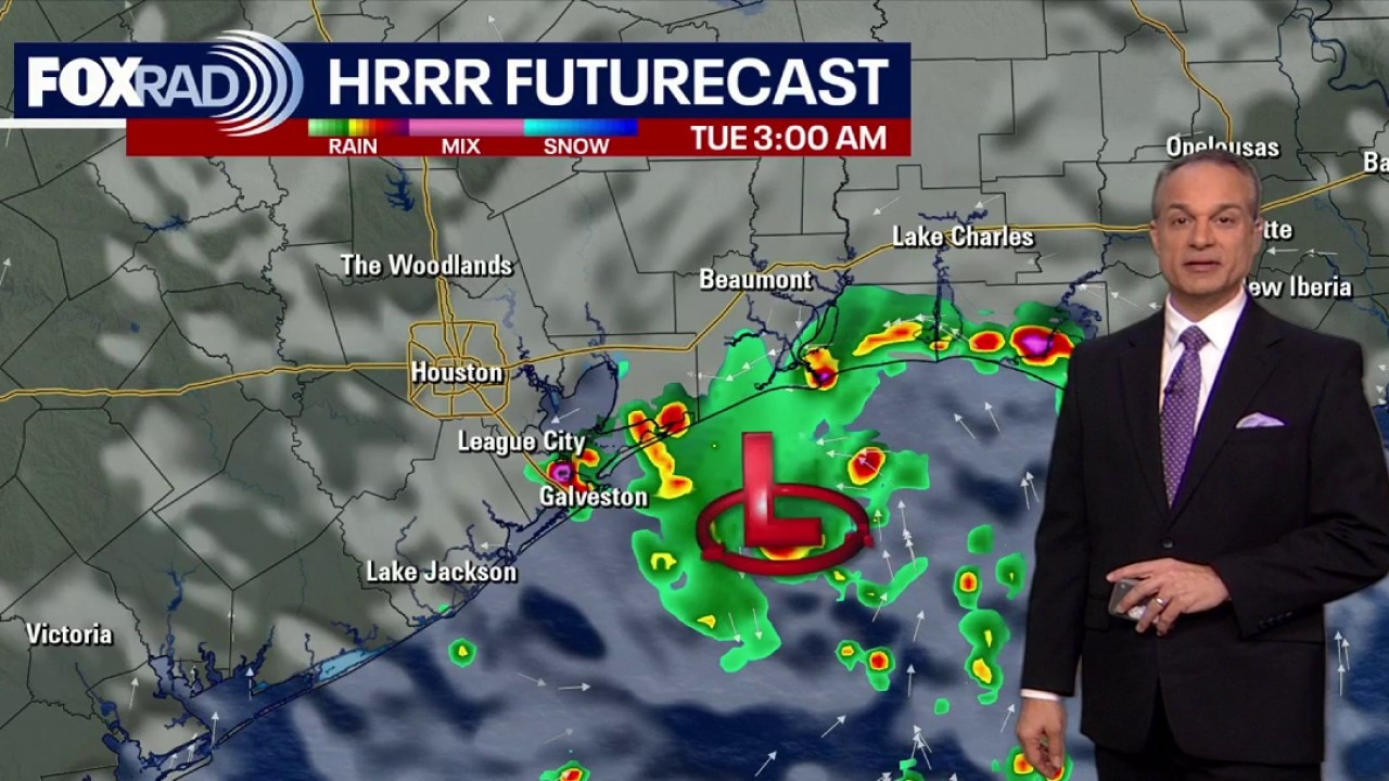
The primary concern for Texas is heavy rainfall, with forecasts predicting 3-6 inches of rain, and localized areas could see up to 9 inches along the upper Texas Coast. This rainfall poses a significant risk of flash flooding, particularly in the Houston metro area, which is already under a flood watch through Wednesday morning.610
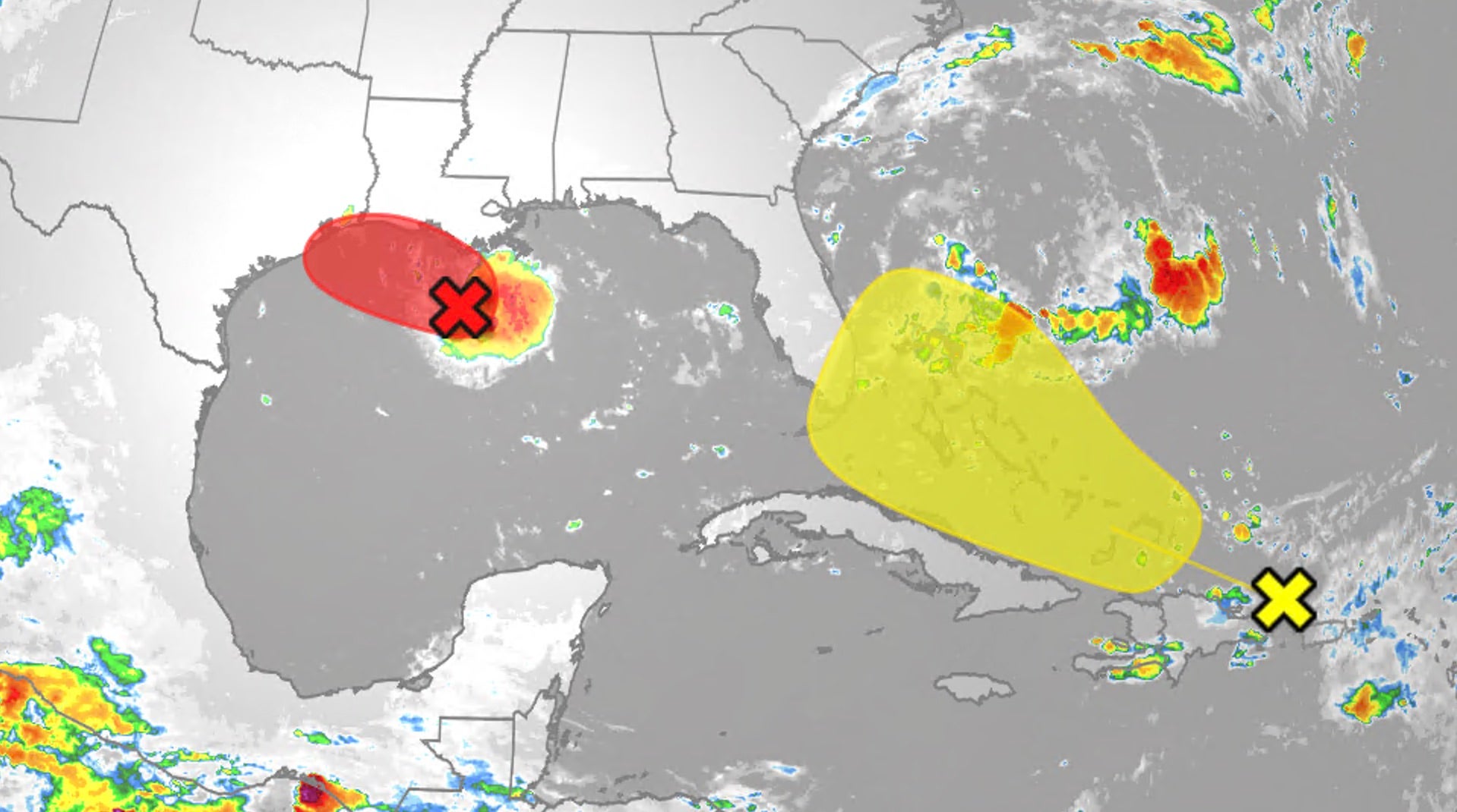
The NOAA’s Weather Prediction Center has categorized much of the Southeast Texas coast as being at a slight (Level 2/4) risk of flash flooding on Tuesday and Wednesday. Additionally, a one to three foot storm surge is possible along the Texas and Louisiana coastlines, compounding the potential for flooding.
As the system continues to develop, the NHC is closely monitoring its progress, emphasizing that it poses a threat of bringing tropical storm or hurricane conditions to land areas within 72 hours.
“The system is centered about 100 miles south of the Mississippi River and moving west at 5 mph, with a tropical storm warning in effect from Port Bolivar, Texas, to the Vermilion/Cameron Parish line. Rainfall of 3-6 inches, up to 9 inches possible, could cause flash flooding in the Houston metro area, which is under a flood watch through Wednesday morning.”
 FOX Weather
 The Weather Channel