- On September 21, the daily sea surface temperature in the central and eastern equatorial Pacific Ocean reached 3.08 degrees Celsius above the 1991 to 2020 average, surpassing the previous record of 3.02 degrees Celsius set in November 2015.
- Climate scientist Nathaniel Johnson of the National Oceanic and Atmospheric Administration’s (NOAA) Geophysical Fluid Dynamics Laboratory calls the event 'a remarkable event' and expects it to strengthen further, with the peak likely within the next few months.
- The oceanic heat released by this El Niño could raise global land temperatures by about 1.2 degrees Celsius over the coming months, potentially leading to 450,000 deaths by February 2027, according to researchers from the Climate Impact Lab at the University of Chicago.
- NOAA has not yet declared this event the strongest on record because it uses a rolling three-month-average anomaly, and it has shifted to the Relative Oceanic Niño index, which better represents global weather impacts. By that measure, the current El Niño has not yet surpassed the 1997–1998 event, but that record is on track to be broken soon.
- The rapid transition from La Niña last winter to a very strong El Niño in less than a year may be the fastest transition on record, according to Johnson.
- El Niño typically lasts about a year, so it is expected to weaken after winter and end by spring or early summer, but a strong El Niño increases the likelihood of a shift to La Niña the following year, possibly a double La Niña as seen after the 2014–2015 event.
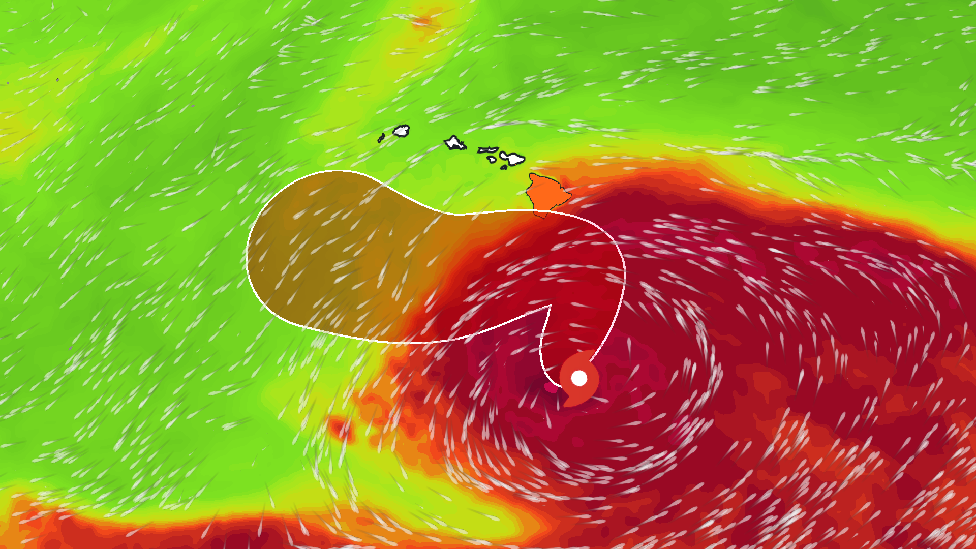
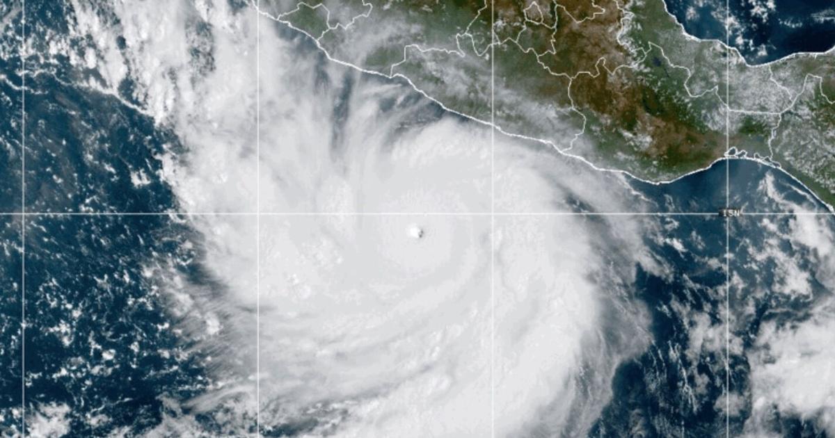
- The impacts of this El Niño include a suppressed Atlantic hurricane season, enhanced Pacific hurricane season, droughts in Central America, northern South America, and the Amazon, a weakened Indian monsoon, and later in the fall, rainier conditions in the southern U.S., drier conditions in the Pacific Northwest, and warmer temperatures in the northern U.S. and Canada.
- The power of this El Niño does not necessarily increase confidence in its impacts, as global warming of oceans has made some historical mid-latitude impacts less likely, and the 2023–2024 El Niño did not bring as much wet weather to California as expected.
Scientists warn that the current El Niño, which has seen sea surface temperatures soar to 3.08°C above average, could result in 450,000 deaths globally. This temperature anomaly, recorded on September 21, surpasses the previous record of 3.02°C set in November 2015.12
According to Nathaniel Johnson, a climate scientist at NOAA, “It has been a remarkable event.” He notes that the El Niño is expected to strengthen further, with a peak anticipated in the coming months. The Climate Impact Lab at the University of Chicago predicts that the oceanic heat released could lead to a 1.2°C increase in global land temperatures by February 2027.345
While NOAA has not yet declared this event the strongest on record, it is on track to potentially surpass the strength of the 1997-1998 El Niño. Johnson emphasizes the rapid transition from a La Niña to a strong El Niño, stating, “That might be the fastest transition that we’ve seen.”
The impacts of this El Niño are already being felt, with droughts in Central America and a suppressed Atlantic hurricane season. Johnson warns that while the current El Niño is powerful, it does not guarantee predictable impacts, as global warming has altered historical weather patterns. “The El Niño in 2023 and 2024 didn’t lead to as much wet weather in California as expected,” says Lenssen, highlighting the complexities of climate interactions.
“Climate scientist Nathaniel Johnson calls it 'a remarkable event' and expects it to strengthen further, with the peak likely within the next few months. Researchers from the Climate Impact Lab at the University of Chicago project that oceanic heat could raise global land temperatures by about 1.2°C, potentially leading to 450,000 deaths by February 2027.”