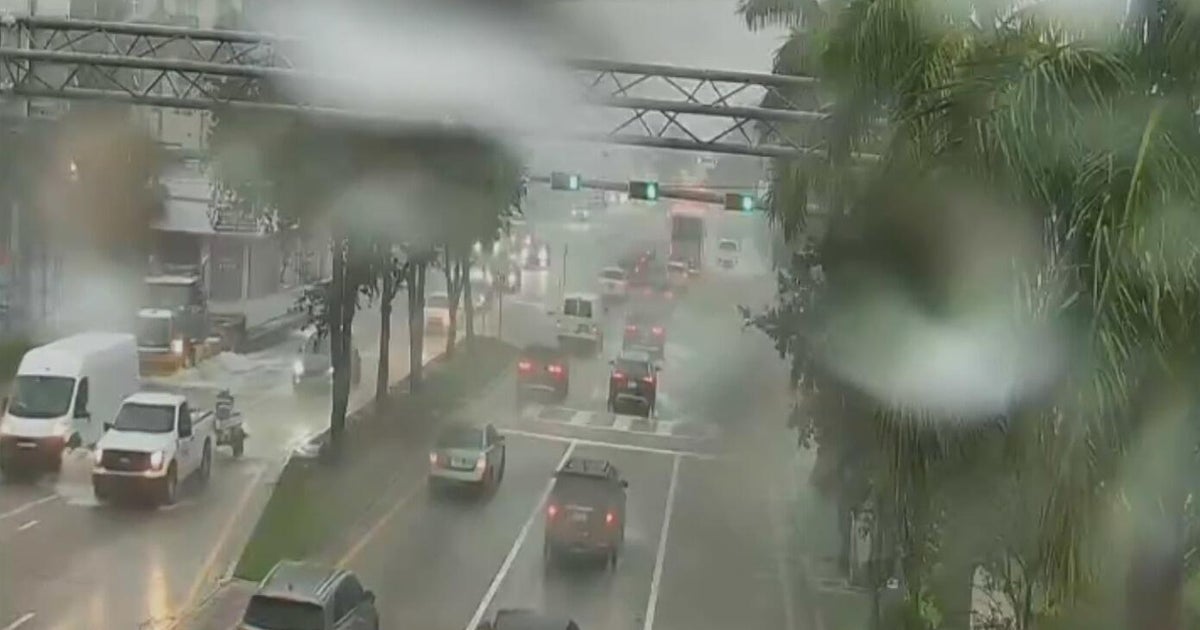
- Flood watches covered parts of 10 contiguous states early Friday.
- Heavy rain is forecast for the Intermountain West and a stretch from southern Minnesota to southern Wisconsin, including northern Iowa, on Friday.
- Saturday will see heavy rain in a zone from Nebraska to Michigan and areas near the Rockies from Colorado to Montana.
- On Sunday, a broad stretch from the Central Plains to the Northeast will experience heavy rain.
- Next week, a particularly wet pattern could set up near the Appalachians and Mid-Atlantic.
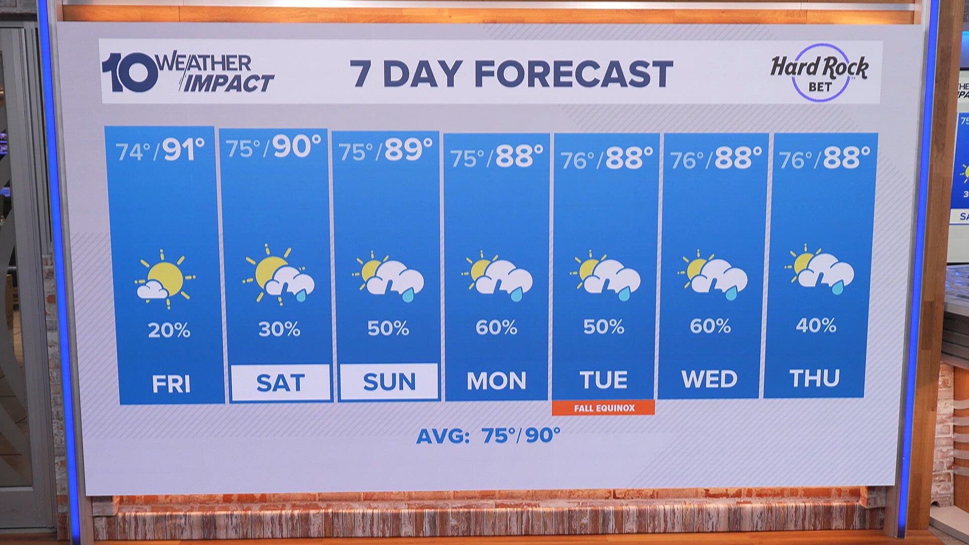
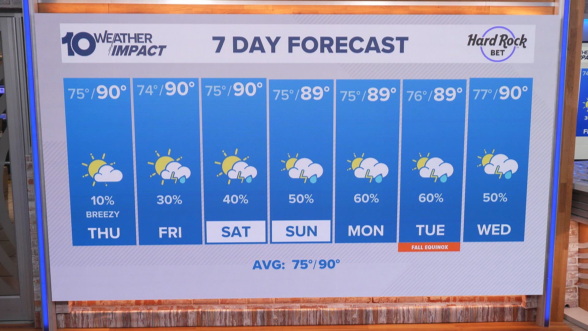
- In Iowa, rain chances will continue through the weekend, with a cold front passing Saturday night and extending rain into Sunday, before a dry stretch begins Tuesday.
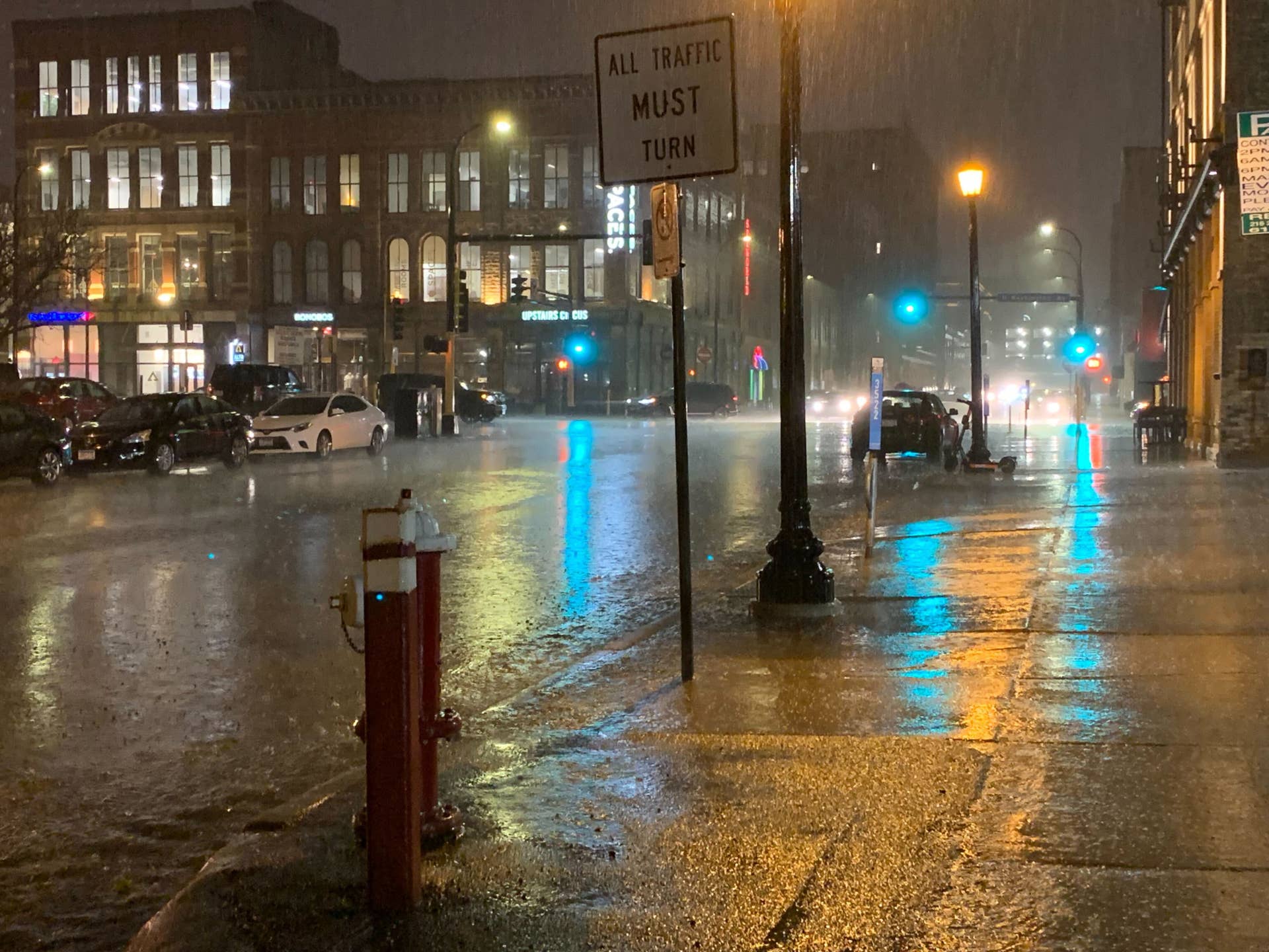
- A pattern of potentially dangerous deluges is developing across the United States, with rounds of heavy rain forecast to hit different regions over the next week to 10 days.
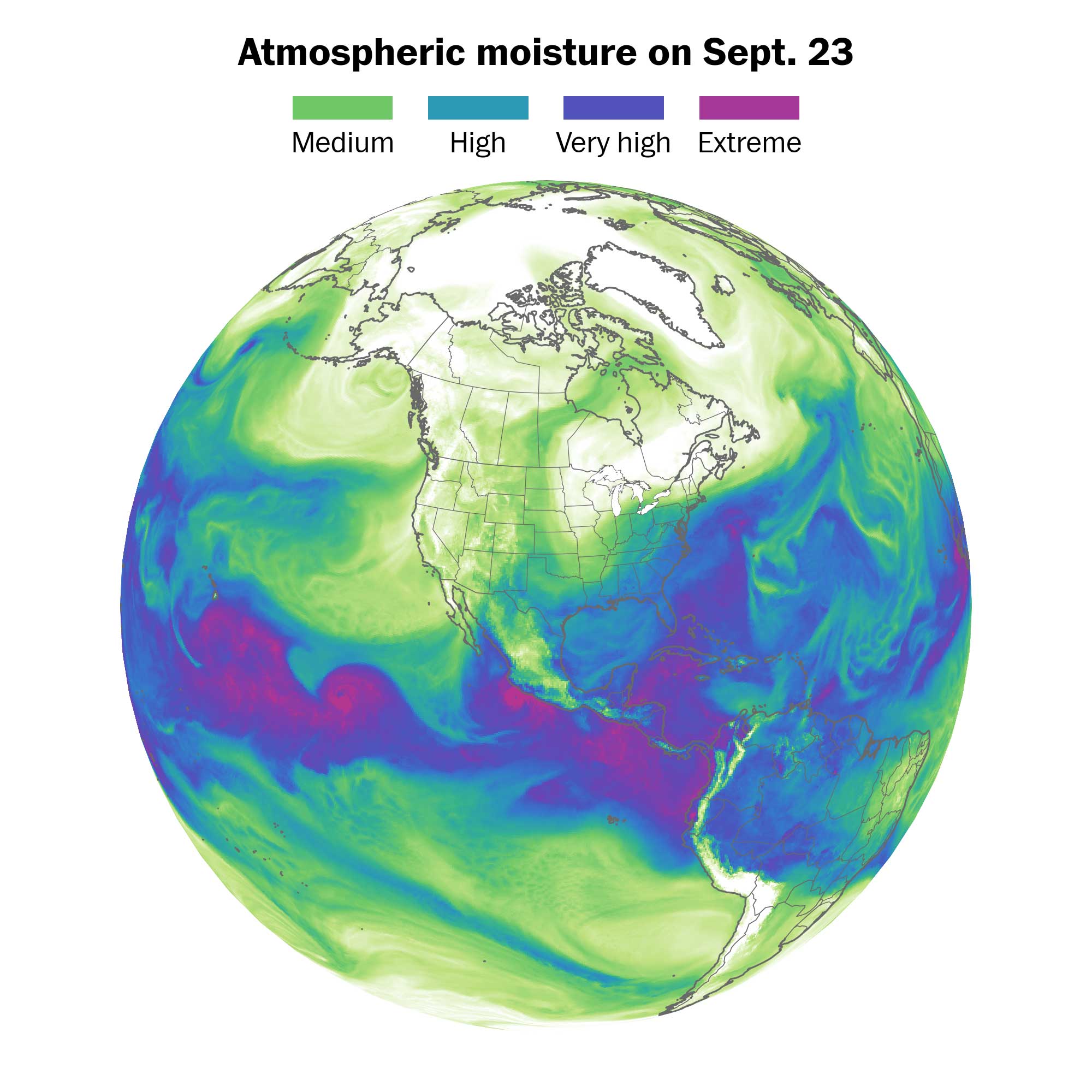
- Record-warm waters in the Pacific Ocean have contributed to more moisture flowing into the United States, providing extra fuel for storms and fronts that can produce extreme rainfall.
Rain and storms are set to continue across Iowa through the weekend, with flood watches in effect for parts of 10 states. Heavy rain is expected to impact regions from the Central Plains to the Northeast over the next week, raising concerns for severe weather.1256
On Friday, flood watches were issued as a dangerous deluge pattern develops nationwide. The forecast indicates rounds of heavy rain hitting various regions, with specific warnings for the Intermountain West and areas from southern Minnesota to southern Wisconsin, including northern Iowa.
As the weekend progresses, rain chances will increase, particularly on Saturday and Sunday, with a broad stretch of storms anticipated. Record-warm waters in the Pacific are contributing to this moisture influx, fueling storms that could lead to extreme rainfall.38

In Iowa, showers and storms are expected to return later Friday night, with temperatures dropping into the 60s by Sunday. The National Weather Service warns that this pattern could lead to elevated risks for flooding and severe weather as winter approaches.
“We’ve had some showers and storms this morning, mostly in the northern half of the state,” a local meteorologist noted, indicating that rain chances will persist into the early part of next week before a dry stretch is expected.
As the situation develops, residents are urged to stay informed about weather updates and prepare for potential flooding.
“Flood watches covered parts of 10 contiguous states early Friday, with alerts possibly expanding. Record-warm Pacific waters are fueling extra moisture, and an intensifying pattern is expected to reach the U.S., raising flood and severe weather risks as winter nears.”
 KCCI
KCCI