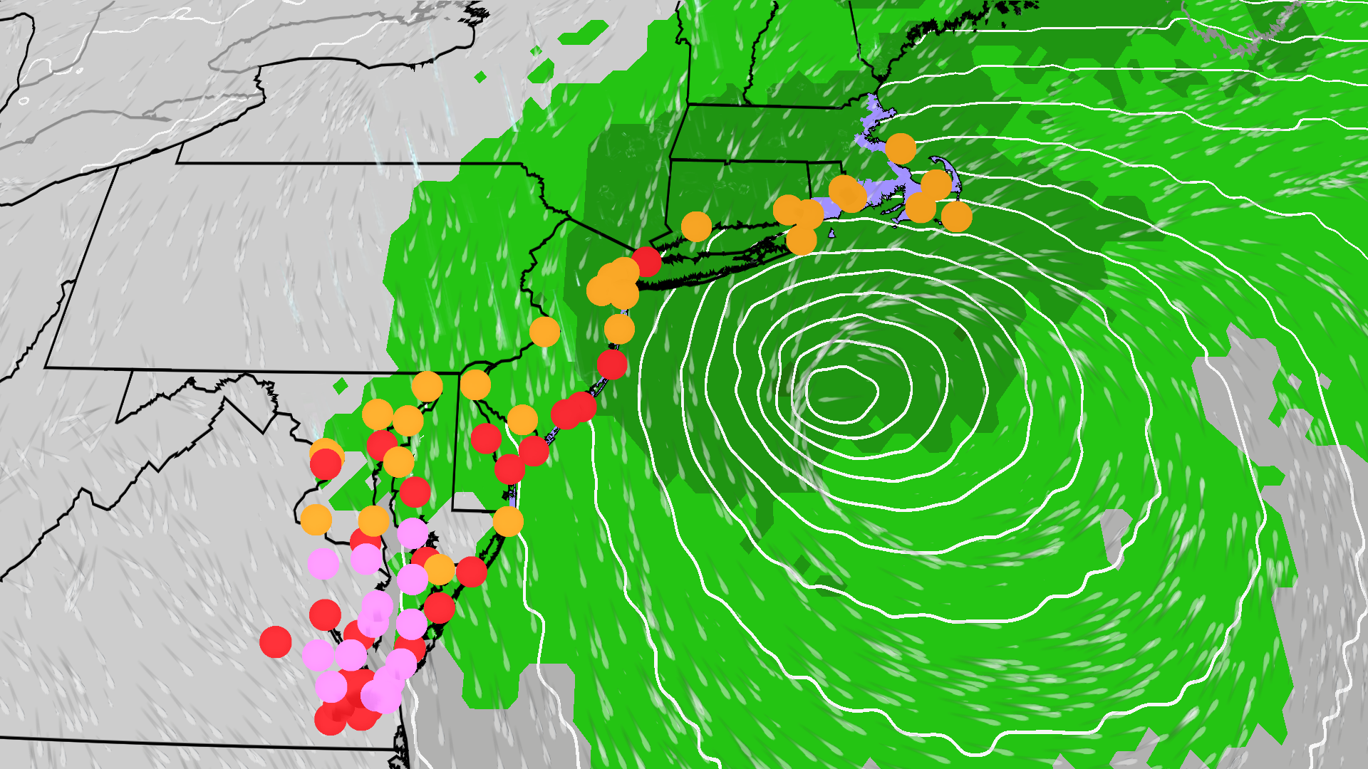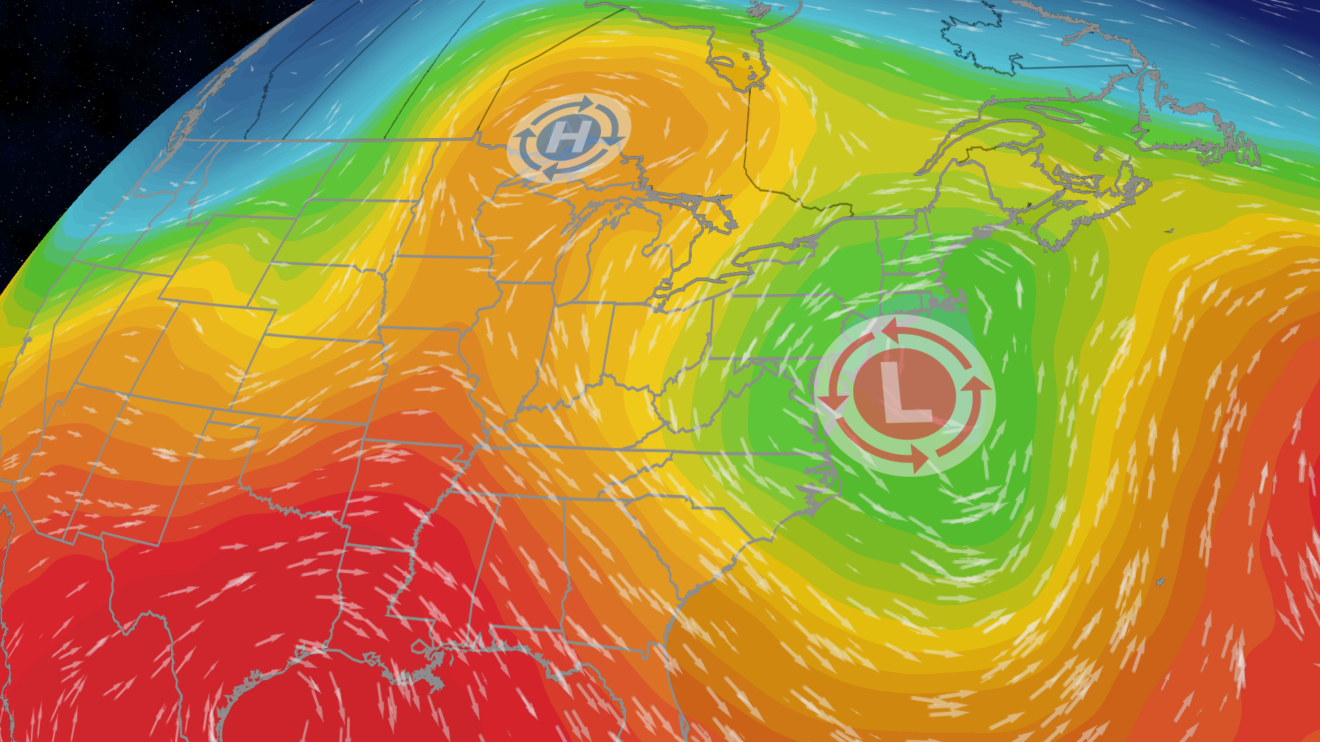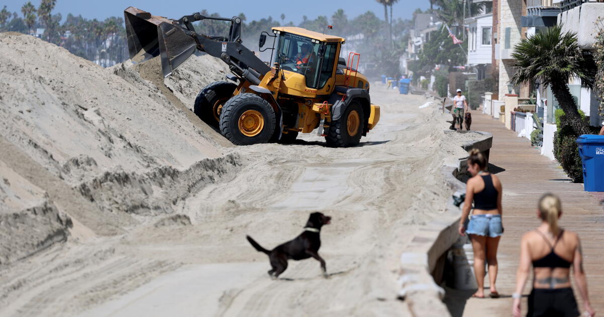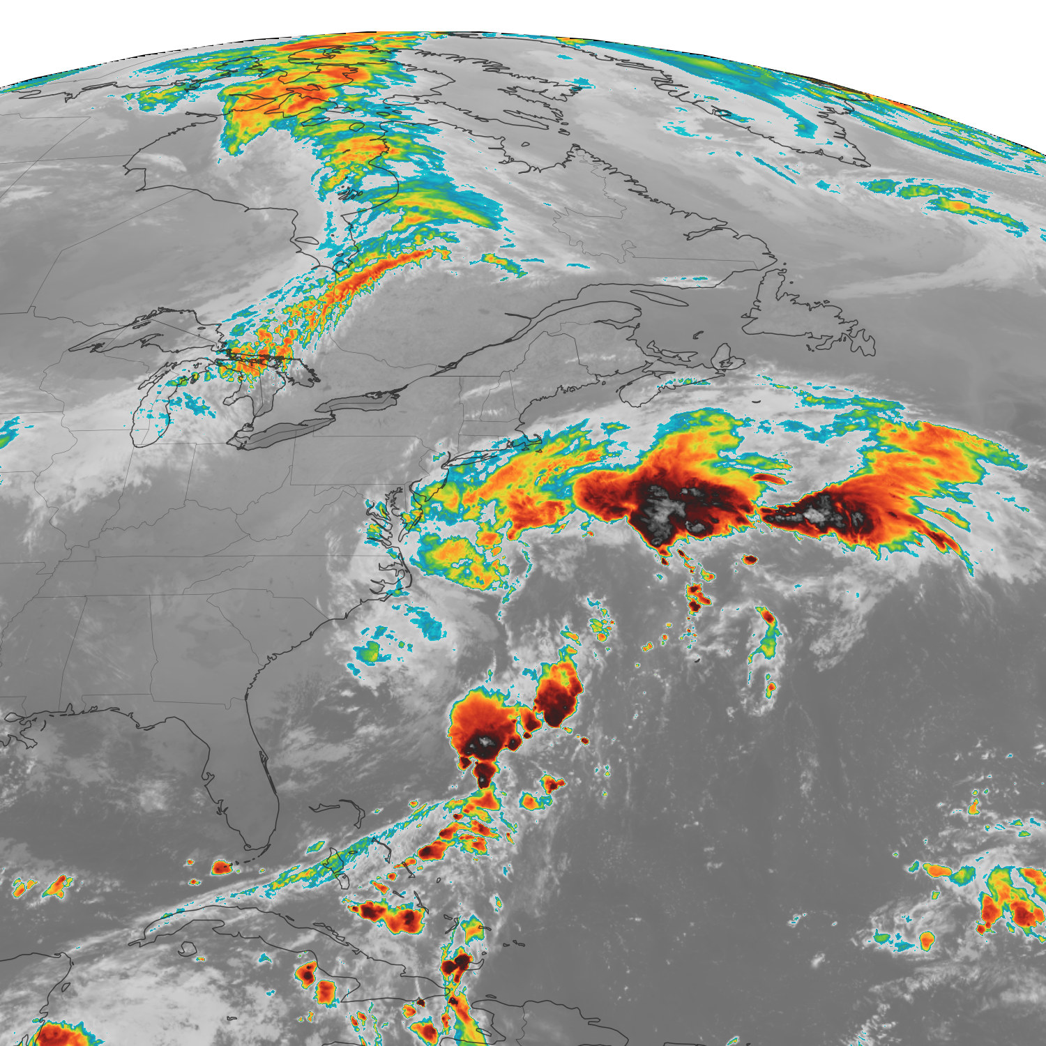
- Gusts topped 40 mph along the coast from southern Massachusetts to the Virginia Tidewater on Wednesday, with minor to moderate coastal flooding reported from the Jersey Shore to southeast Virginia.
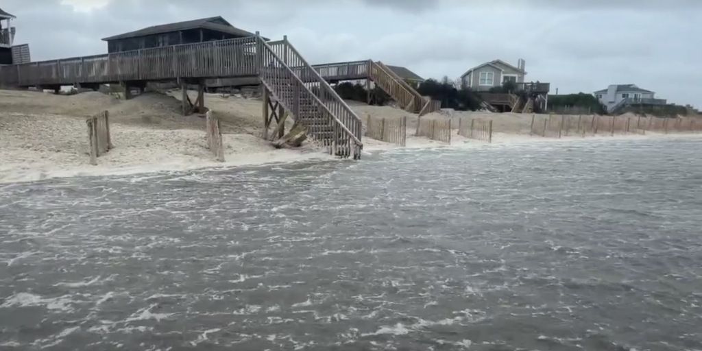
- Widespread gusts of 30-45 mph were ongoing on Thursday, with peak gusts over 45 mph reported along the North Carolina coast, and water levels reached major flood stage during high tide.
- The nor'easter is gaining strength about 200 miles east of Cape Hatteras, with coastal flood warnings and high wind warnings in place as winds pick up with gusts up to 40-50 mph.
- Rain bands continue on Saturday with wind gusts up to 60 mph along the immediate coast, and astronomical high tides enhance coastal flooding potential.
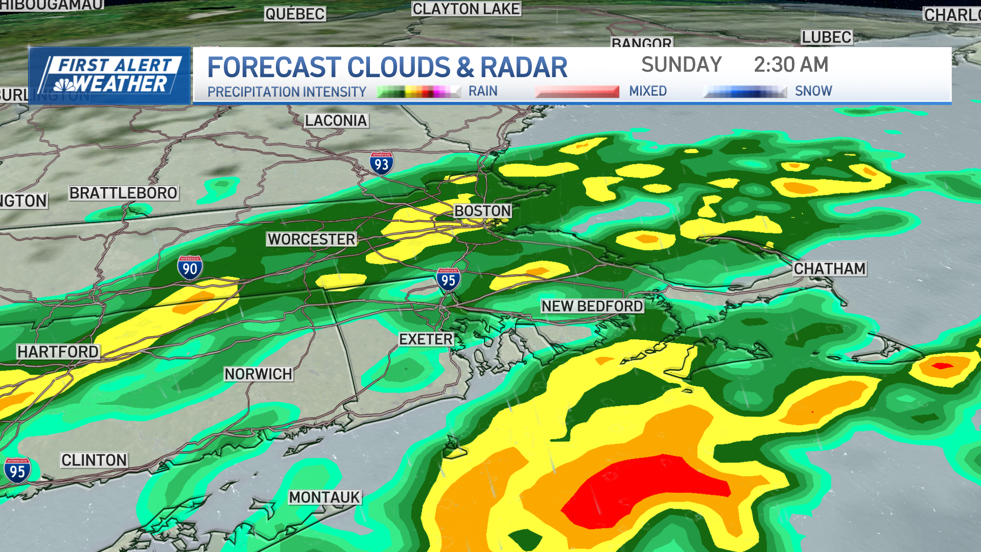
- On Sunday, the storm may approach or push ashore in New Jersey, with continued rain and gusty winds up to 40-45 mph.
- By Monday, the storm likely continues churning near New England with lingering rain and lower winds, with gusts up to 35 mph.
- Coastal flood warnings are in place from the Outer Banks to the eastern tip of Long Island, including Virginia Beach, Dover, Atlantic City, and Manhattan.
- The most significant coastal flooding will be from the northern Outer Banks of North Carolina to the southern New Jersey shore, including the Virginia Tidewater.
- High surf advisories and coastal flood watches are in place and include Boston, with the heaviest rain expected over coastal New England from Friday through the weekend.
- Flash flooding is possible, especially in urban areas, including the Boston metro, due to the expected heavy rain.
- Nor'easters are storms along the East Coast, typically bringing precipitation in the form of heavy rain or snow, as well as winds of gale force and coastal flooding.
A nor'easter is intensifying off the East Coast, with forecasts indicating it will move northward, potentially impacting New Jersey by Sunday. The storm is expected to produce 15-to-25-foot waves and significant coastal flooding, particularly from the northern Outer Banks to southern New Jersey.
Coastal flood warnings are in effect from the Outer Banks to eastern Long Island, including major cities like New York City and Boston. The most severe flooding is anticipated during high tides, with minor flooding expected in parts of New England by late Friday.5611
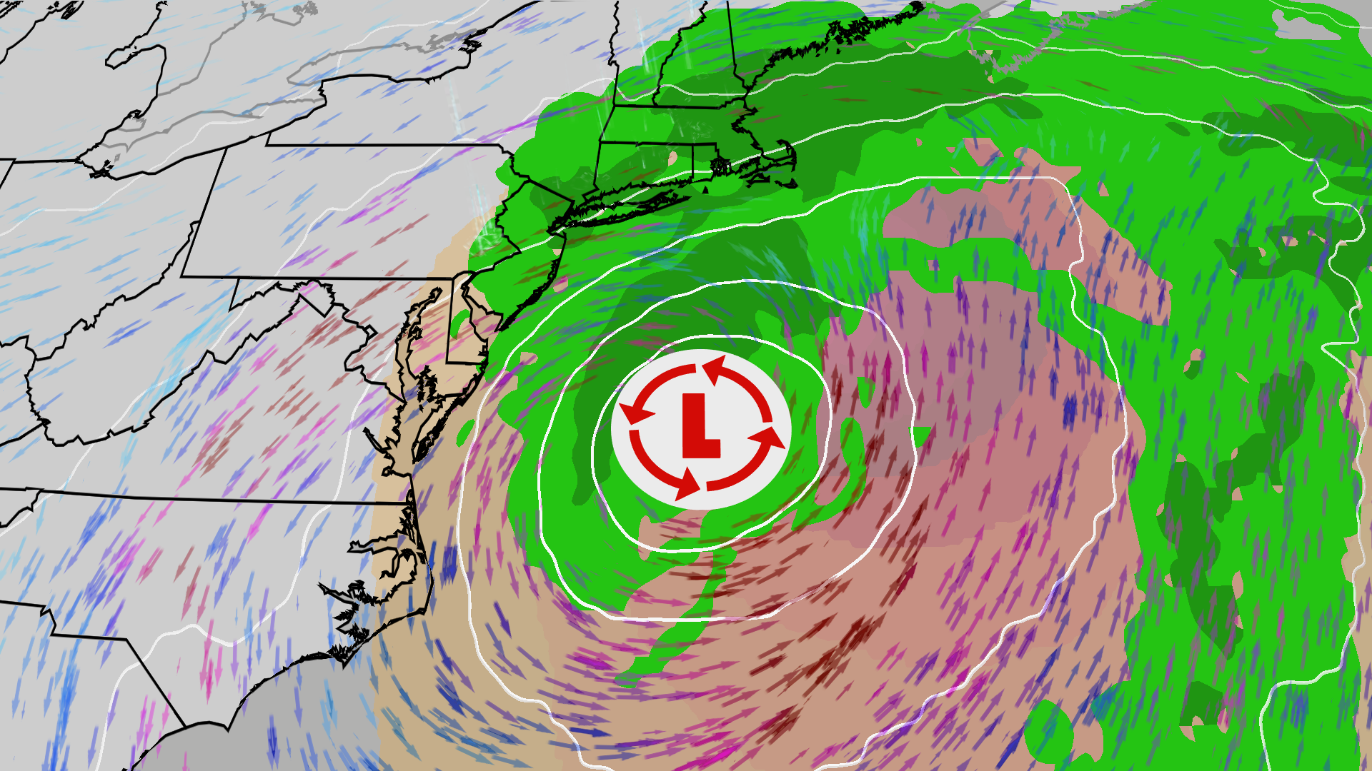
The storm will bring heavy rain and strong winds, with gusts reaching up to 60 mph in some areas. High wind warnings are in place for Boston and parts of New England, where tree damage and power outages are likely. Delays at airports in Boston and New York City are also expected due to the storm's impact.
The National Weather Service notes that nor'easters can occur year-round but are most common in winter. This storm is particularly notable for its early-season occurrence, with coastal flooding and beach erosion expected to reach extreme levels in some areas.16
As the storm progresses, residents are advised to prepare for potential flash flooding, especially in urban areas like the Boston metro, where the heaviest rain is forecasted.131415
“The storm is expected to produce 15-to-25-foot waves offshore and gusts up to 60 mph along coastal New England, with coastal flood warnings in effect from the Outer Banks to eastern Long Island. A 16-mile stretch of North Carolina Highway 12 is closed due to ocean overwash, and Boston-Logan faces likely delays this weekend.”


 The Weather Channel
 NBC Boston