- NISAR detected ground deformation on the mountain slope before the collapse, with displacement of several metres in the failure zone.
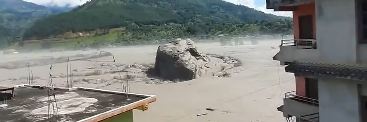
- On August 26, a glacier collapsed in the Langtang region of Nepal near the China border, triggering an ice and rock avalanche.
- The avalanche entered the Lhende Khola, a tributary of the Bhote Koshi river, where it either caused or contributed to a temporary blockage.
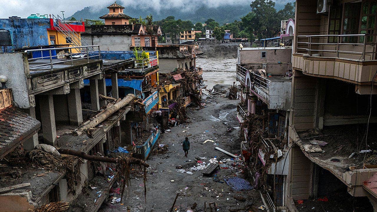
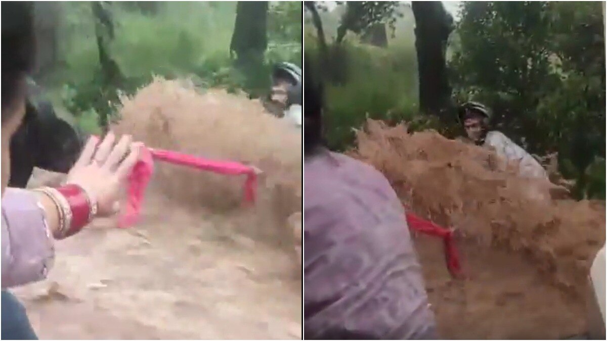
- When this burst, a catastrophic flash flood travelled almost 100 kilometres downstream.
- Warming conditions and glacial permafrost instability are increasingly being studied in relation to glacier collapses.
- Warming can increase meltwater penetration into the crevasses of glaciers and weaken ice-rock bonds.
- NISAR is designed to repeatedly monitor changes across Earth's land and ice, helping scientists study glaciers, landslides, earthquakes, floods, and ground deformation.
- Detecting movement is not the same as predicting a collapse; a mountain can deform for days, months, or even years without suddenly failing.
On August 26, a glacier collapse in Nepal's Langtang region triggered a devastating flash flood, with NISAR radar detecting significant ground deformation beforehand. The satellite revealed displacement of several metres in the failure zone, indicating parts of the mountain were moving prior to the collapse.49
The avalanche, consisting of ice and rock, rushed into the valley, causing a powerful debris flow that traveled almost 100 kilometres downstream. This incident has raised alarms regarding the impact of unusually warm conditions and glacial permafrost instability, which can weaken ice-rock bonds and increase meltwater penetration into glacier crevasses.5
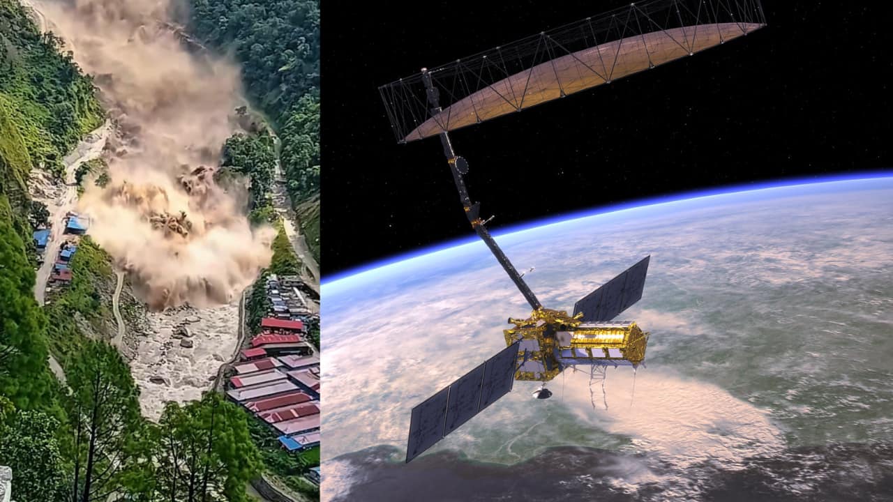
NISAR, the NASA-ISRO Synthetic Aperture Radar satellite, operates differently from traditional cameras, using Synthetic Aperture Radar to monitor Earth's surface both day and night, even through clouds. While it can detect movement, it does not predict collapses, as deformation can occur over extended periods without immediate failure. The satellite's ongoing observations are crucial for studying glaciers, landslides, earthquakes, floods, and ground deformation, providing valuable data for scientists.
As climate change continues to affect glacial stability, the insights gained from NISAR's data may help mitigate future disasters in vulnerable regions like Nepal.
“The collapse triggered an ice and rock avalanche that entered the Lhende Khola, causing a temporary blockage that burst, sending a flash flood nearly 100 kilometres downstream. NISAR's radar can observe through clouds and at night, unlike ordinary cameras, aiding disaster monitoring.”