- Increased rainfall and storms are forecast to hit the UK this autumn as a result of the “unprecedented” weather pattern, which will also cause severe droughts in the southern hemisphere, the Met Office warned.
- Prof Adam Scaife, head of long-range forecasting at the Met Office, said a typical El Niño involves Pacific sea temperatures rising by more than 1C, “with 2C being a really big event.” This year Pacific sea temperatures are set to rise by 3C, making it “the largest since the 19th century.”
- Scaife told BBC Radio 4’s Today programme: “We’re expecting the biggest El Niño for over a century, peaking at something over 3C. That is unheard of in modern climate records … it’s up 2C degrees already.
- The impacts would be felt worldwide, with “particularly strong throughout the tropics,” where we expect really severe droughts in places like South America and the west Pacific. Wave-like disturbances from the tropics would affect the UK, with signals for increased rainfall and storminess in the autumn around November.
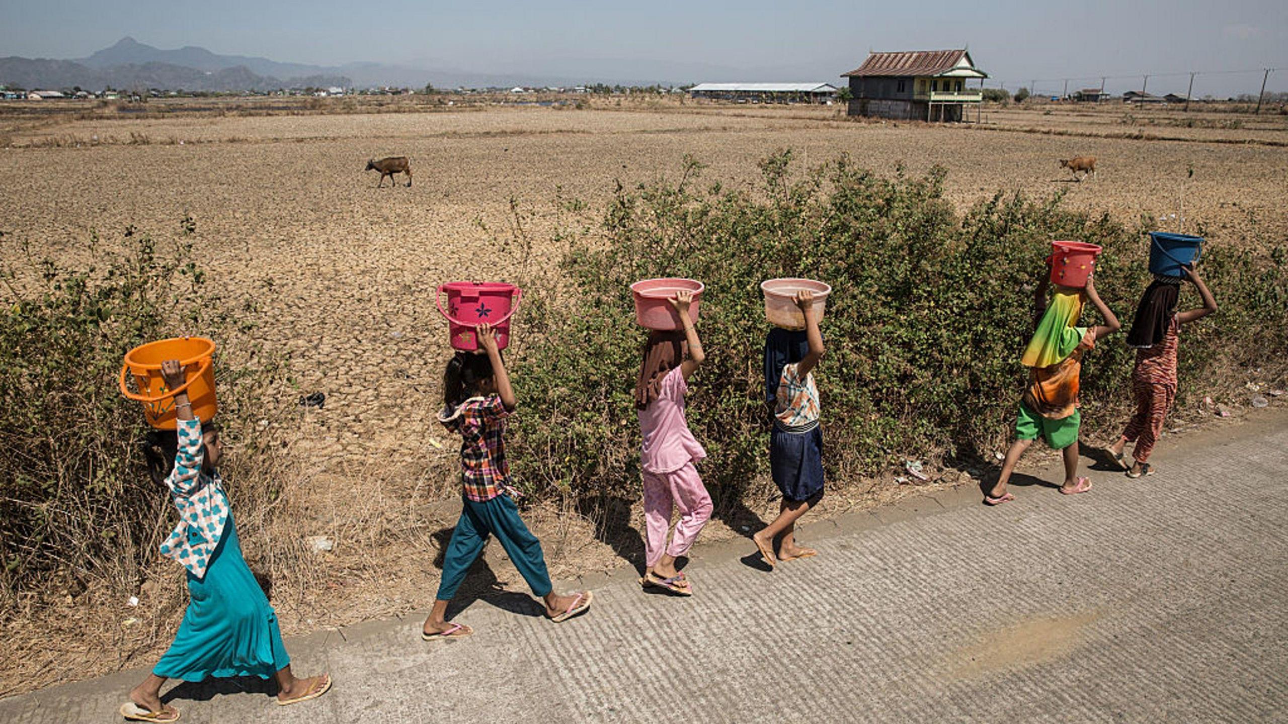
- There is a heightened risk of drought in southern Africa and north-east Australia, while north-western Europe – including the UK – is likely to experience wetter and stormier conditions, the Met Office said.
- The El Niño will drive an increase in global average temperature, with 2027 forecast to be the warmest year on record. Dr Nick Dunstone, a science fellow at the Met Office, said: “During large El Niño events, significantly more heat is released from the ocean to the atmosphere leading to an increase in global average temperature, particularly in the calendar year following the winter peak of the El Niño.
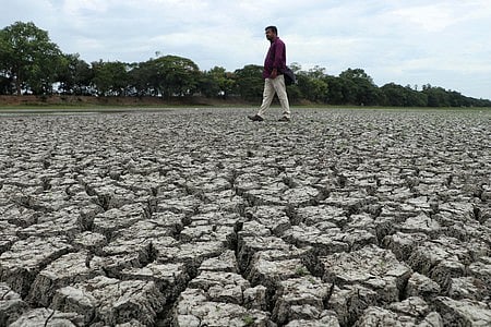
- A series of record heatwaves and a lack of rainfall has brought the driest July in 190 years and pushed almost three-quarters (71.3%) of England, and all of Wales, into drought, putting severe pressure on the water system, wildlife, farmers, emergency services and infrastructure. Reservoir levels have fallen to 62.6% – 16.3% lower than expected, according to Defra.
The UK’s Met Office has issued a warning for increased rainfall and storms this autumn, attributing these conditions to the strongest El Niño in over a century, with Pacific sea temperatures expected to peak at over 3C.1
Prof Adam Scaife, head of long-range forecasting, stated, “We’re expecting the biggest El Niño for over a century, peaking at something over 3C. That is unheard of in modern climate records.” This unprecedented weather pattern is anticipated to cause severe droughts in the southern hemisphere, particularly affecting regions like South America and the west Pacific.4
Scaife explained that the impacts of this El Niño will be felt worldwide, with wave-like disturbances affecting the UK, leading to increased rainfall and storminess expected around November. The Met Office also noted a heightened risk of drought in southern Africa and north-east Australia, while north-western Europe, including the UK, is likely to experience wetter conditions.56
The El Niño phenomenon is projected to drive an increase in global average temperature, with 2027 forecast to be the warmest year on record. Dr Nick Dunstone, a science fellow at the Met Office, remarked, “During large El Niño events, significantly more heat is released from the ocean to the atmosphere leading to an increase in global average temperature.” Recent months have already seen the driest July in 190 years, with 71.3% of England and all of Wales facing drought conditions, putting pressure on water systems and agriculture.891011
According to Defra, reservoir levels have fallen to 62.6%, which is 16.3% lower than expected for this time of year, exacerbating the situation.
“Prof Adam Scaife says Pacific sea temperatures are set to rise by 3C, making this the largest El Niño since the 19th century. The Met Office also forecasts 2027 to become the warmest year on record, potentially exceeding 1.5C above preindustrial levels.”
 The Guardian