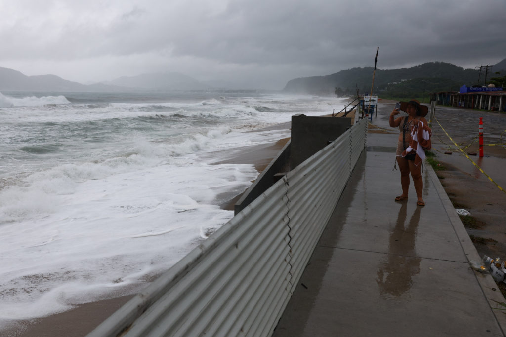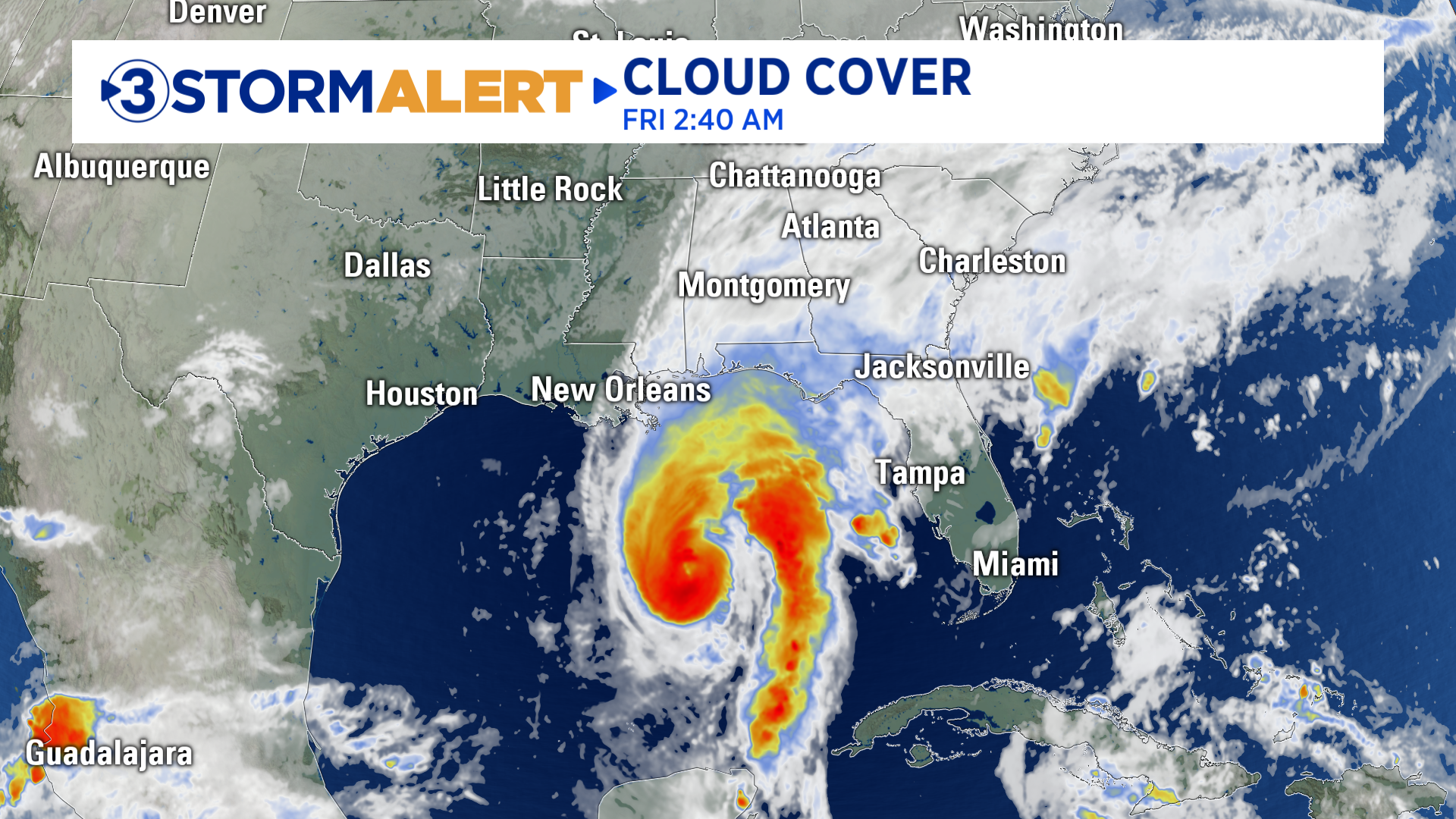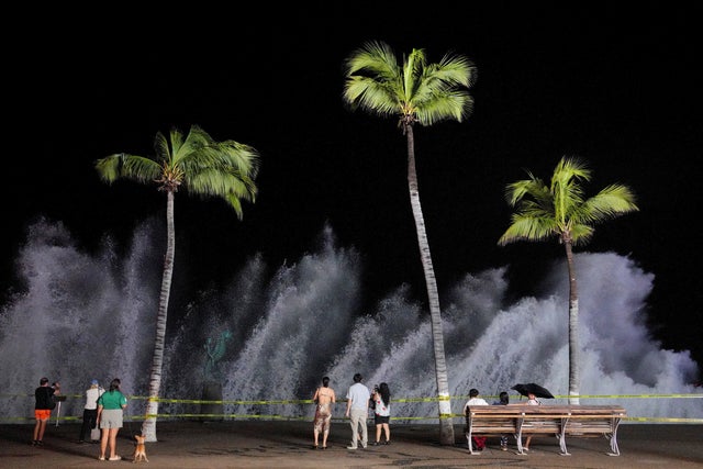
- Hurricane Simon weakened to a Category 2 storm but continued to pound the coast of west-central Mexico with its eye remaining just offshore.
- The U.S. National Hurricane Center warned that dangerous winds would keep lashing the region into Monday afternoon, threatening coastal areas with flooding rain.
- Simon was moving slowly westward off the Mexican coast but was expected to change directions mid-week and approach the coast of west-central Mexico on Wednesday into Thursday.
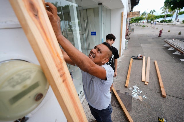
- Puerto Vallarta, a popular tourist destination in Jalisco, faced the storm's most damaging winds and rain, while inland communities with vulnerable housing were also at risk.
- Simon was expected to bring heavy rain to the U.S. Southern Plains from Tuesday afternoon through Friday morning, with 3 to 5 inches of rain and more in some places.
- Hurricane-force winds extended outward up to 15 miles and tropical-storm-force winds reached up to 60 miles from Simon's center, meaning the entire area between Mexico's western coast and the Sierra Madre mountains could be affected.
- Hurricane Simon moved northwest off Mexico's Pacific coast on Monday, bringing dangerous winds, heavy rain, and flooding that prompted alerts for possible evacuations in riverside communities.
- At 8 a.m. (1400 GMT), the US National Hurricane Center reported Simon about 55 miles (90 km) west-southwest of Cabo Corrientes in Jalisco state, with maximum sustained winds of 110 mph (175 kph), making it a Category 2 hurricane.
- Simon had weakened from a Category 4 system on Saturday.
- Authorities warned that Simon could bring life-threatening flooding and mudslides to parts of the Pacific coast and nearby mountains.
- In Cihuatlan in southwestern Jalisco, patrols warned residents to prepare for potential evacuation as the Marabasco River rose, and floodwater inundated streets and low-lying areas overnight.
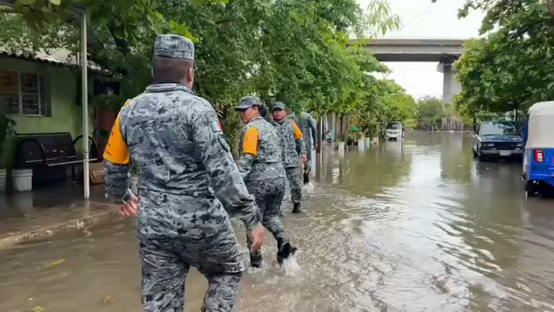
- In the port city of Manzanillo in Colima state, residents waded through flooded homes and streets as navy personnel helped remove water.
- Forecasters warned that Simon could strengthen again and remained a dangerous hurricane, with some additional weakening forecast before possible re-intensification on Tuesday and Wednesday.
- Simon is forecast to make landfall on Thursday in Mexico's Sinaloa state.
- Following weeks of storms that have battered Mexico, at least 10 people are missing in Baja California and one minor was killed in the coastal city of Ensenada.
- The National Hurricane Center said isolated storm totals could reach 30 inches (76 cm) in parts of Michoacan, Colima, and Jalisco.
- The hurricane is forecast to dump an additional 2 to 4 inches (5 to 10 cm) of rain across coastal areas of southwest and west-central Mexico, with isolated amounts of 6 to 8 inches (15 to 20 cm) in parts of Jalisco and Sinaloa.
- Laura Velazquez, head of Mexico's civil protection agency, said one person was reported to have died due to the storm in Guerrero state, home to Acapulco.
- Alex DaSilva, a hurricane expert at AccuWeather, said Simon is slowly losing wind intensity and could stall this week without making a true landfall as an organized storm.

Hurricane Simon has weakened to a Category 2 storm with maximum sustained winds of 105 mph, but it continues to pose a significant threat to Mexico's Pacific coast, particularly Puerto Vallarta and surrounding vulnerable towns.125678910121314192021
The U.S. National Hurricane Center reported that dangerous winds and heavy rain are expected to persist, with flooding risks increasing as the storm approaches land. Simon's eye was located about 60 miles west-southwest of Cabo Corrientes, moving slowly westward at 2 mph.341123
Authorities have warned that the storm could bring life-threatening flooding and mudslides, especially in areas where housing is not resilient to such conditions. Laura Velazquez, head of Mexico's civil protection agency, confirmed one fatality in Guerrero state, highlighting the storm's impact on local communities.1525
The hurricane is forecast to dump an additional 2 to 4 inches of rain across coastal areas, with isolated amounts reaching 6 to 8 inches in parts of Jalisco and Sinaloa.161724
As Simon approaches, residents in towns like Cihuatlan and Manzanillo are preparing for potential evacuations due to rising river levels and flooding. The storm's slow movement could exacerbate rainfall, leading to dangerous conditions.18
The National Hurricane Center has indicated that Simon could re-intensify before making landfall later this week, with forecasts suggesting it may remain a hurricane through midweek.
“The slower Simon moves, the more rain potential the storm carries,” said Alex DaSilva, a hurricane expert at AccuWeather.26
As the storm continues to develop, residents are urged to stay vigilant and prepared for severe weather conditions.
“Simon's maximum sustained winds dropped to 105 mph, but the U.S. National Hurricane Center warned dangerous winds would lash the region into Monday afternoon, threatening flooding rain. In Cihuatlan, patrols warned residents to prepare for possible evacuation as the Marabasco River rose and floodwater inundated streets overnight.”
CBS News