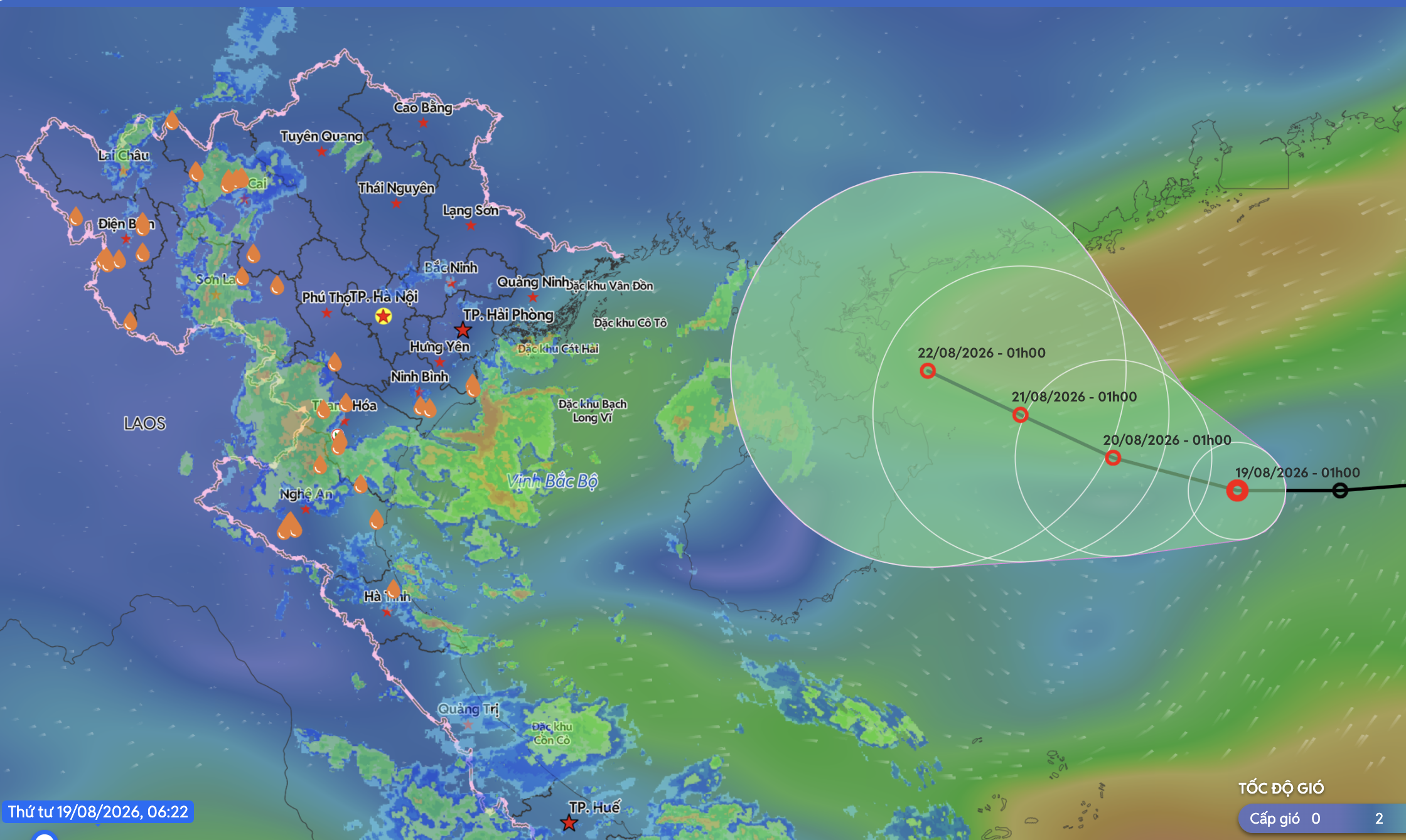
- As of 1 am Thursday, the tropical depression was about 60 kilometers east of Hainan Island, packing winds of 39-49 km/h and gusts reaching level eight.
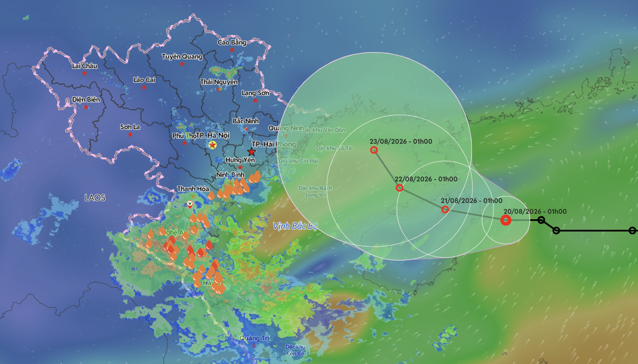
- The depression is expected to move slowly westward at 5-10 km/h on Thursday, strengthening to level six-seven winds with gusts up to level nine by early Friday.
- It is forecast to enter the eastern Gulf of Tonkin from Thursday evening to Friday night, then remain over the gulf on Saturday before moving northwestward.
- Heavy rain is forecast from Thanh Hoa to northern Quang Tri, with localized totals exceeding 200 mm through August 21.
- The widespread heavy rain is not expected to ease until the night of August 21.
- The tropical depression is expected to generate strong winds of levels 6-7, with gusts reaching level 9, over waters northwest of the northern East Sea.
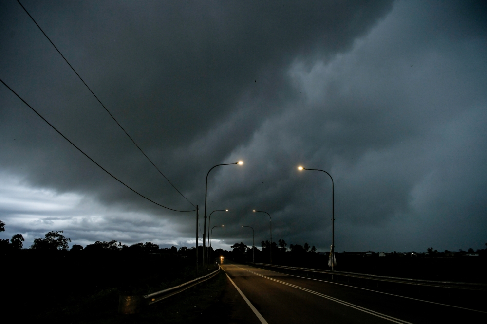
- Authorities warned that vessels operating within dangerous zones could be exposed to thunderstorms, strong winds, and high waves.
- The heavy rain could cause flooding in low-lying and urban areas, flash floods in small rivers and streams, and landslides in mountainous areas.
A tropical depression is forecast to enter the Gulf of Tonkin from Thursday evening to Friday night, bringing heavy rain and winds up to level nine to northern Vietnam. The National Center for Hydro-Meteorological Forecasting reported that the depression was located about 60 kilometers east of China's Hainan Island, with winds of 39-49 km/h and gusts reaching level eight.126
The system is expected to move slowly westward at 5-10 km/h, strengthening to level six-seven winds (39-61 km/h) with gusts up to level nine by early Friday. It will generate waves up to 4 meters in the northwest of the northern East Vietnam Sea, creating rough seas.
Rainfall totals are expected to be significant, with areas from Thanh Hoa to northern Quang Tri forecast to receive 40-90 mm, and isolated areas exceeding 180 mm. Some locations may see more than 150 mm of rain within just three hours, raising concerns for flooding and landslides.48
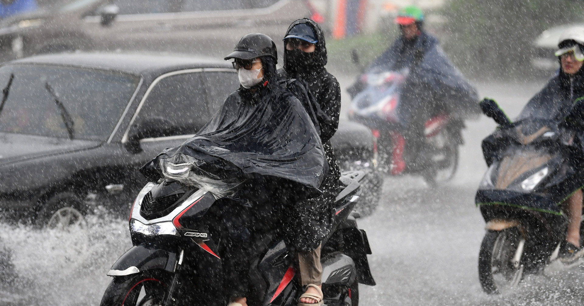
Authorities have warned that the heavy rain could lead to flooding in low-lying and urban areas, flash floods in small rivers and streams, and landslides in mountainous regions. The widespread heavy rain across northern and north-central Vietnam is not expected to ease until the night of August 21.5
As the depression approaches, vessels in the affected areas face risks from thunderstorms, strong winds, and high waves. The convergence zone across the Red River Delta and north-central Vietnam is expected to bring further rainfall, with some areas potentially receiving over 200 mm.7
The National Center for Hydro-Meteorological Forecasting has urged caution as the tropical depression strengthens and moves toward the Gulf of Tonkin.
“The depression is expected to bring waves up to 4 meters and rough seas to the northwest of the northern East Sea, threatening ships with thunderstorms and high waves. Rainfall in Thanh Hoa to northern Quang Tri could exceed 200 mm, with flash floods and landslides in mountainous areas.”
 Báo VietNamNet