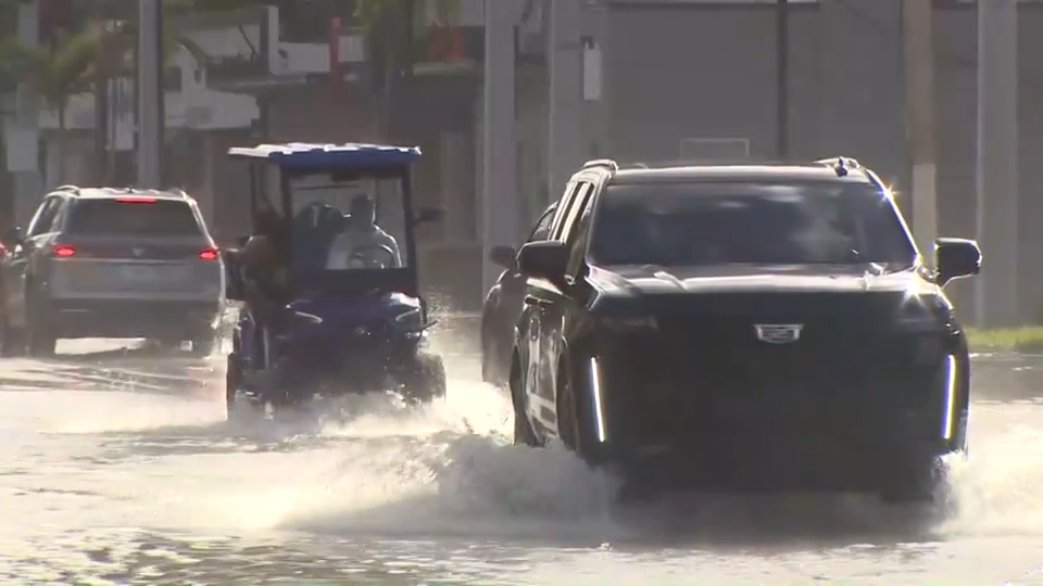
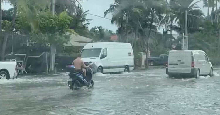
- High tide coastal flooding will peak today and tomorrow in South Florida, according to the National Weather Service forecast.
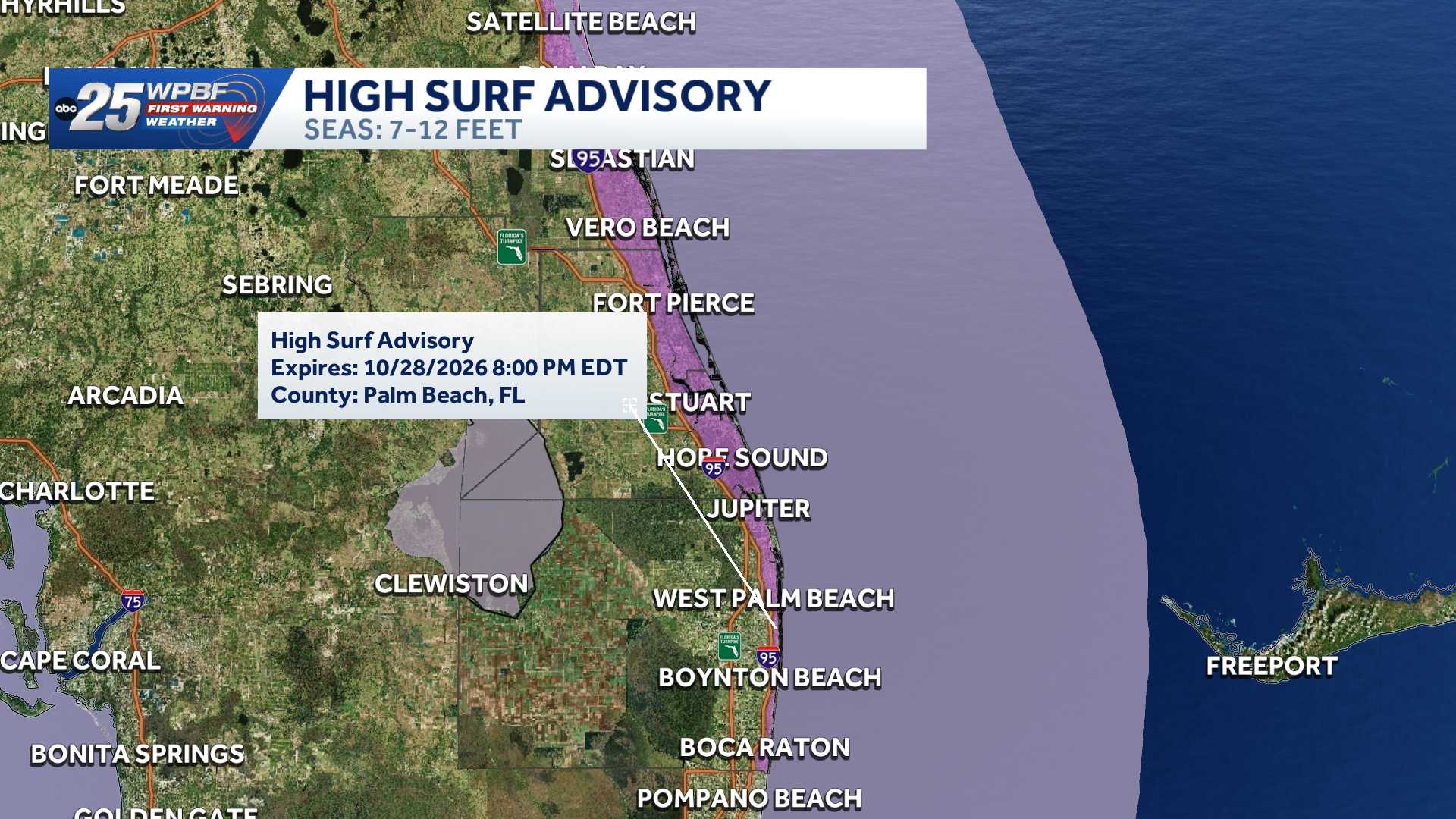
- Coastal flood warning remains in effect for Central Florida until 2 a.m. Friday, with a high surf advisory also in effect until 2 a.m. Friday.
- Additional advisories include high rip current risk through late Thursday night, gale warning until 2 a.m. Wednesday, small craft advisory until 4 a.m. Friday, and wind advisory through 8 p.m. Wednesday.
- Conditions are expected to continue throughout the week, with showers possible.
- The area under a coastal flood warning extends from down to the upper Florida Keys, including West Palm Beach, Fort Lauderdale, Miami, and Homestead.
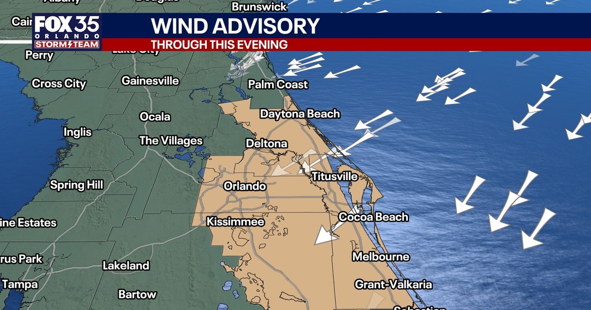
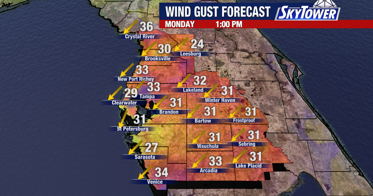
- Wind advisory is in effect until 8 p.m. ET today for metro and coastal areas of Miami-Dade County, Broward County, and Palm Beach County, with northeast winds of 15 to 25 mph and gusts up to 40 mph expected.
- According to the Oct. 26 king tide forecast, tidal water levels along the east coast of South Florida could stay above the National Weather Service "Moderate Flooding" threshold in the coming days, with some locations approaching the 'Major Flooding' threshold today and tomorrow.
- In the Florida Keys, tidal water levels were near the moderate flooding threshold when the forecast was posted and could remain above the minor flooding threshold during the weekend.

Coastal flood warnings and high surf advisories are currently in effect for Central Florida, with forecasts indicating that high tides will peak today and tomorrow in South Florida. The warnings cover a wide area, including West Palm Beach, Fort Lauderdale, Miami, and Homestead, where major flooding is possible.23410
According to the Oct. 26 king tide forecast, tidal water levels along the east coast of South Florida could remain above the National Weather Service's "Moderate Flooding" threshold, with some locations nearing the "Major Flooding" threshold. The coastal flood warning is set to last until 2 a.m. Friday, while the high surf advisory is also in effect until the same time.
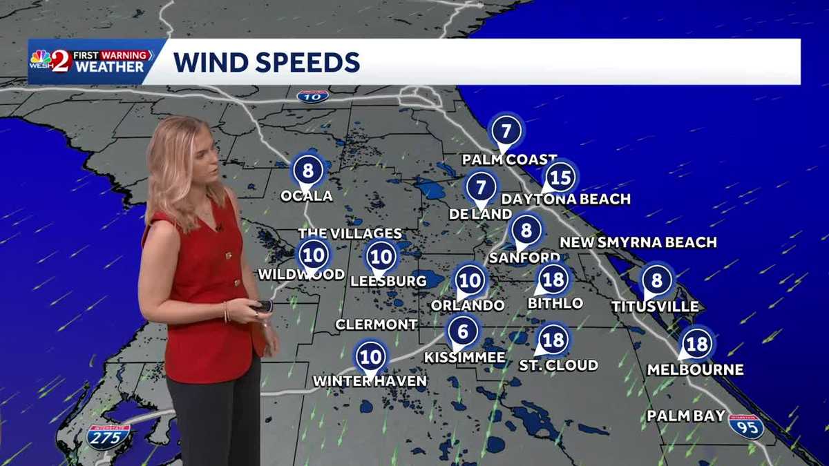
In addition to the coastal warnings, a wind advisory is in place until 8 p.m. ET today for metro and coastal areas of Miami-Dade, Broward, and Palm Beach counties. Northeast winds of 15 to 25 mph, with gusts up to 40 mph, could lead to unsecured objects being blown around and potential power outages due to fallen tree limbs.567811
The forecast predicts that high tides along the east coast will peak from Oct. 26 through Nov. 12, with conditions expected to persist throughout the week, including a chance of showers. Rain chances are estimated at 10% inland and 20% along the coast.9
“The National Weather Service warns tidal water levels could approach 'Major Flooding' threshold today and tomorrow, with high tides peaking Oct. 26 through Nov. 12. Wind advisory until 8 p.m. brings gusts up to 40 mph, potentially downing tree limbs and causing power outages.”